Covered Bridges and Fall Colors in Rural Vermont
2 comments
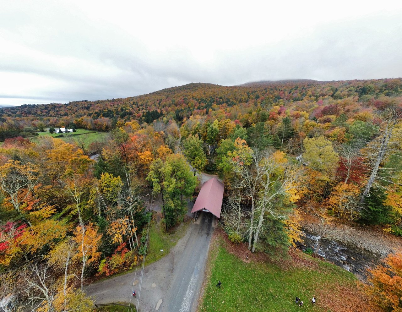
Another angle that only a drone can provide. I really like having this new, different perspective to help capture the feel of the area.
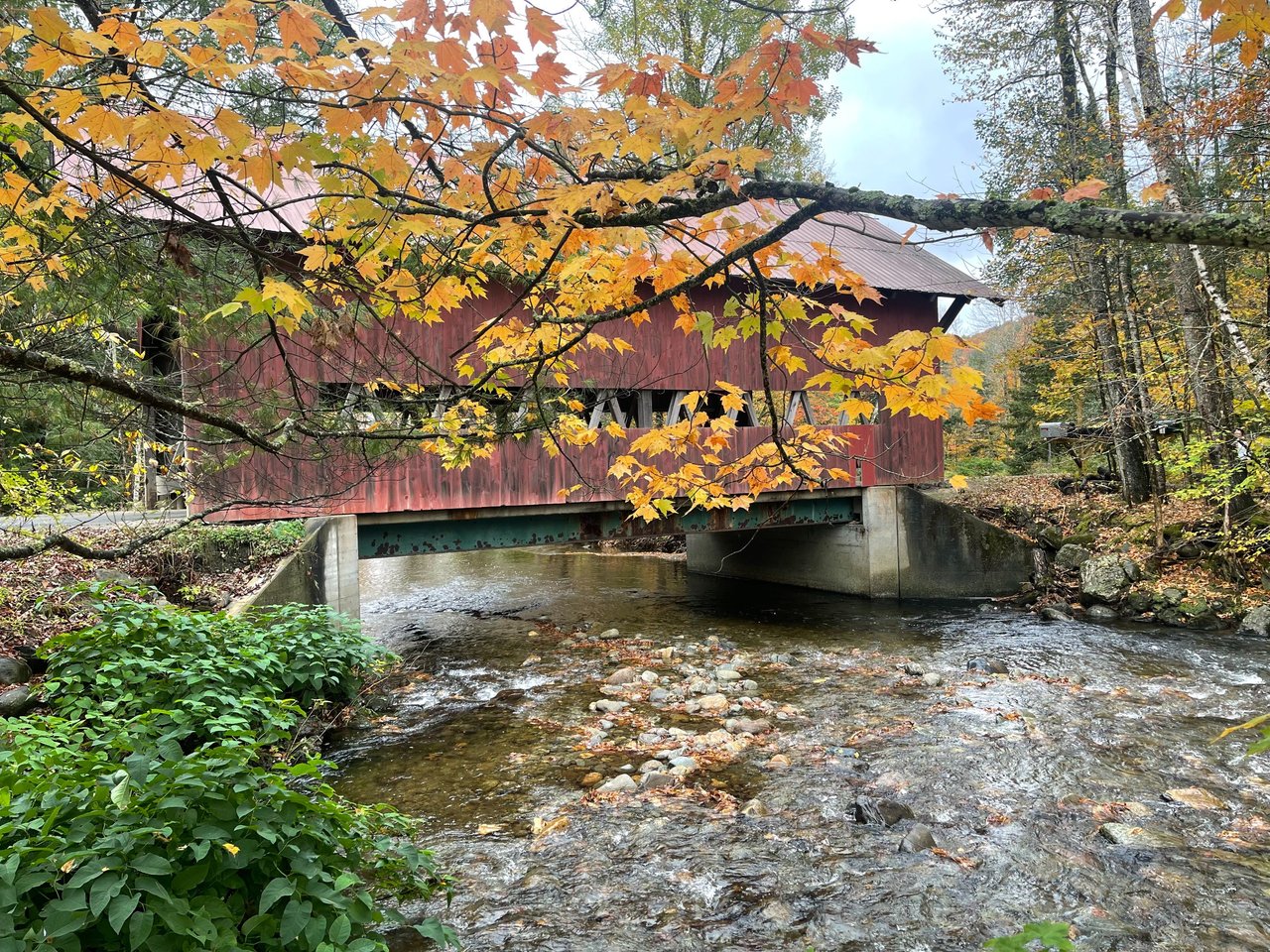
Vermont is famous for its old wooden covered bridges and its amazing display of Fall foliage. So I thought to myself, what better way to photograph Vermont than to combine these two amazing things. I took my dji mini 4k drone and my iPhone 12 pro max out for a spin to see what I could get. The Brookdale Bridge was originally built in 1964 and spans the West Branch Little River. It is right at the end of the Stowe bike path, which winds for over five miles to downtown Stowe.
It is October 7th, and we are still in prime 'leaf peeping' season here in Stowe. The traffic is pretty wild. People drive from all over to come see the leaves. They are all getting a very good show at the moment. I imagine that we are going to move into stick season pretty soon, however, so now is the time to get out there and get these shots!
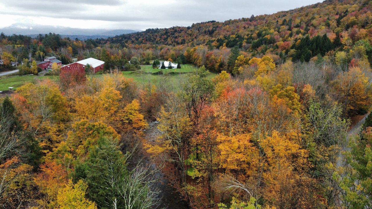
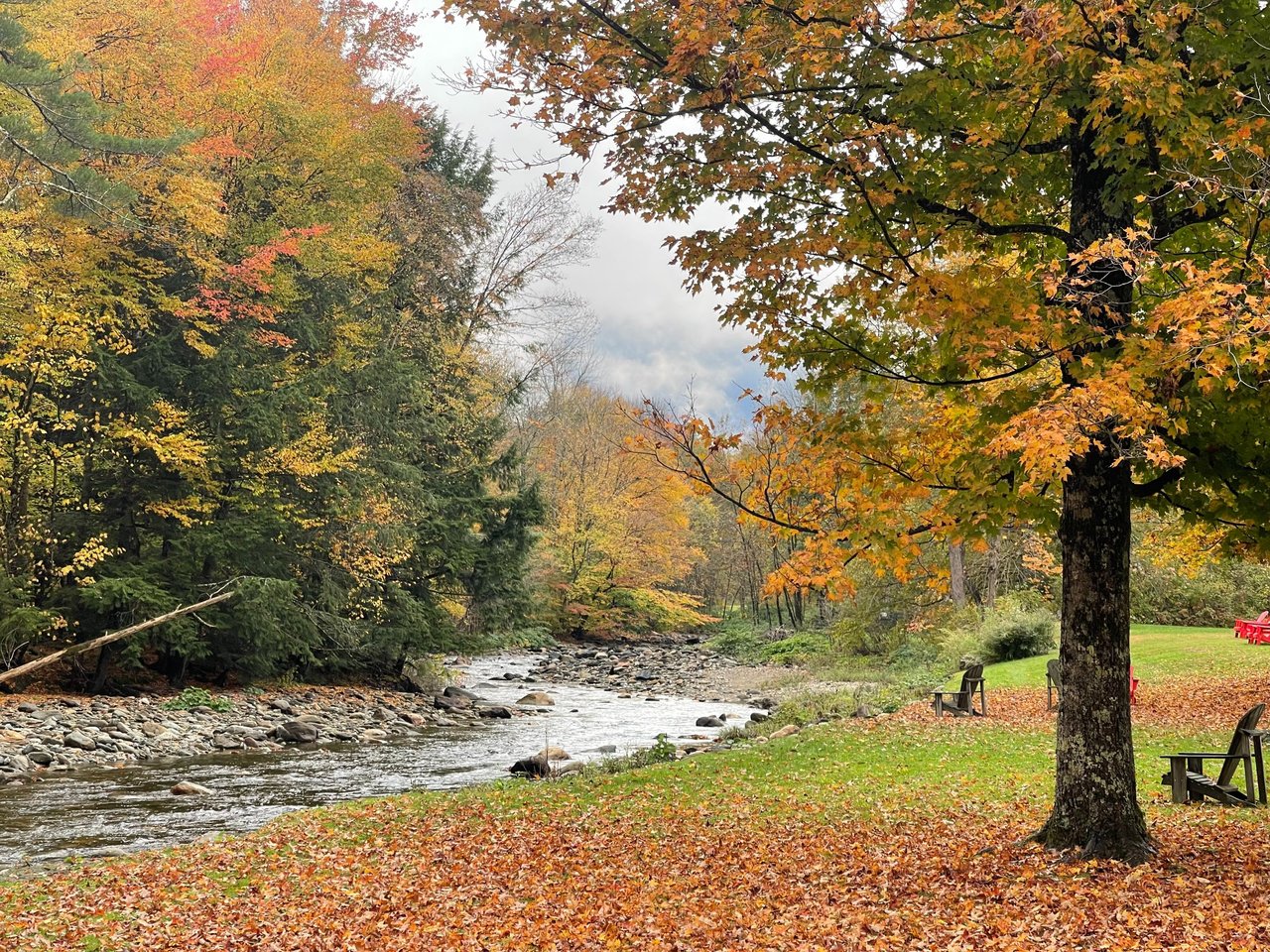
Beautiful Fall colors abound right now in rural Vermont. This shot is from my drone.
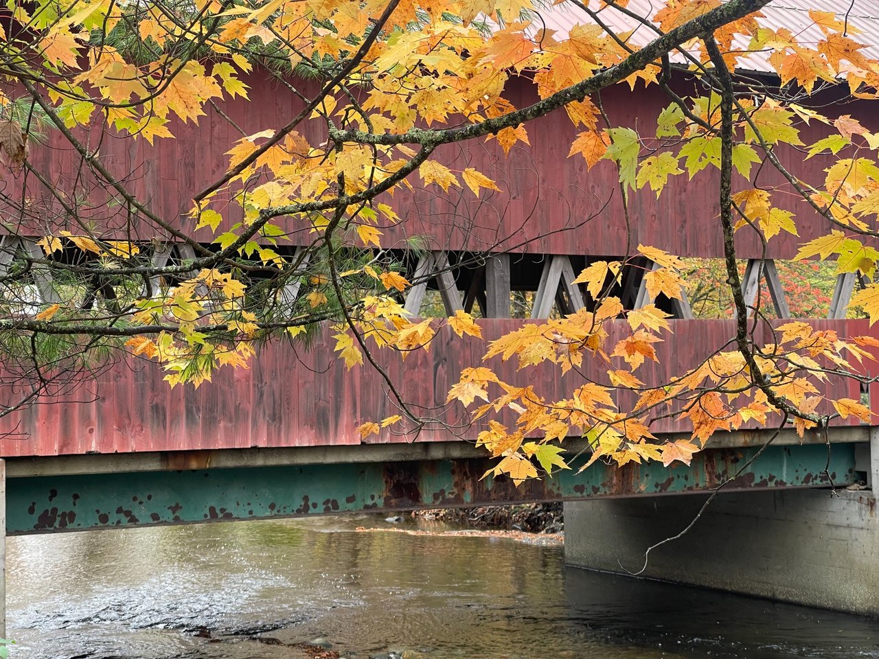
Covered bridge and colorful maple leaves.
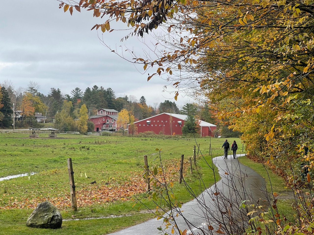
It is a perfect day for a walk down the bike path here in Stowe for some autumn appreciation.
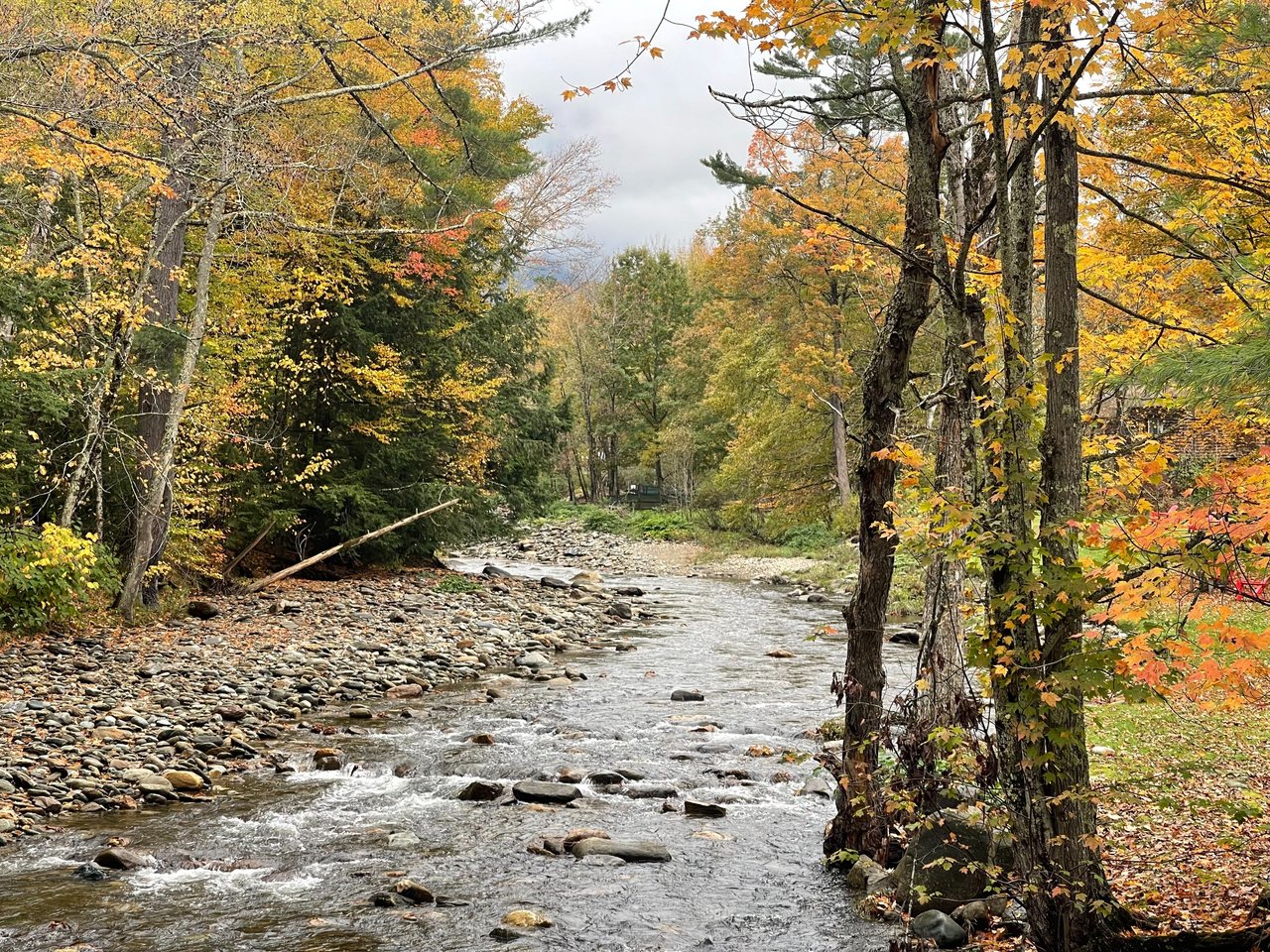
Idyllic setting as a river runs through.
Another angle of this historic wooden covered bridge.
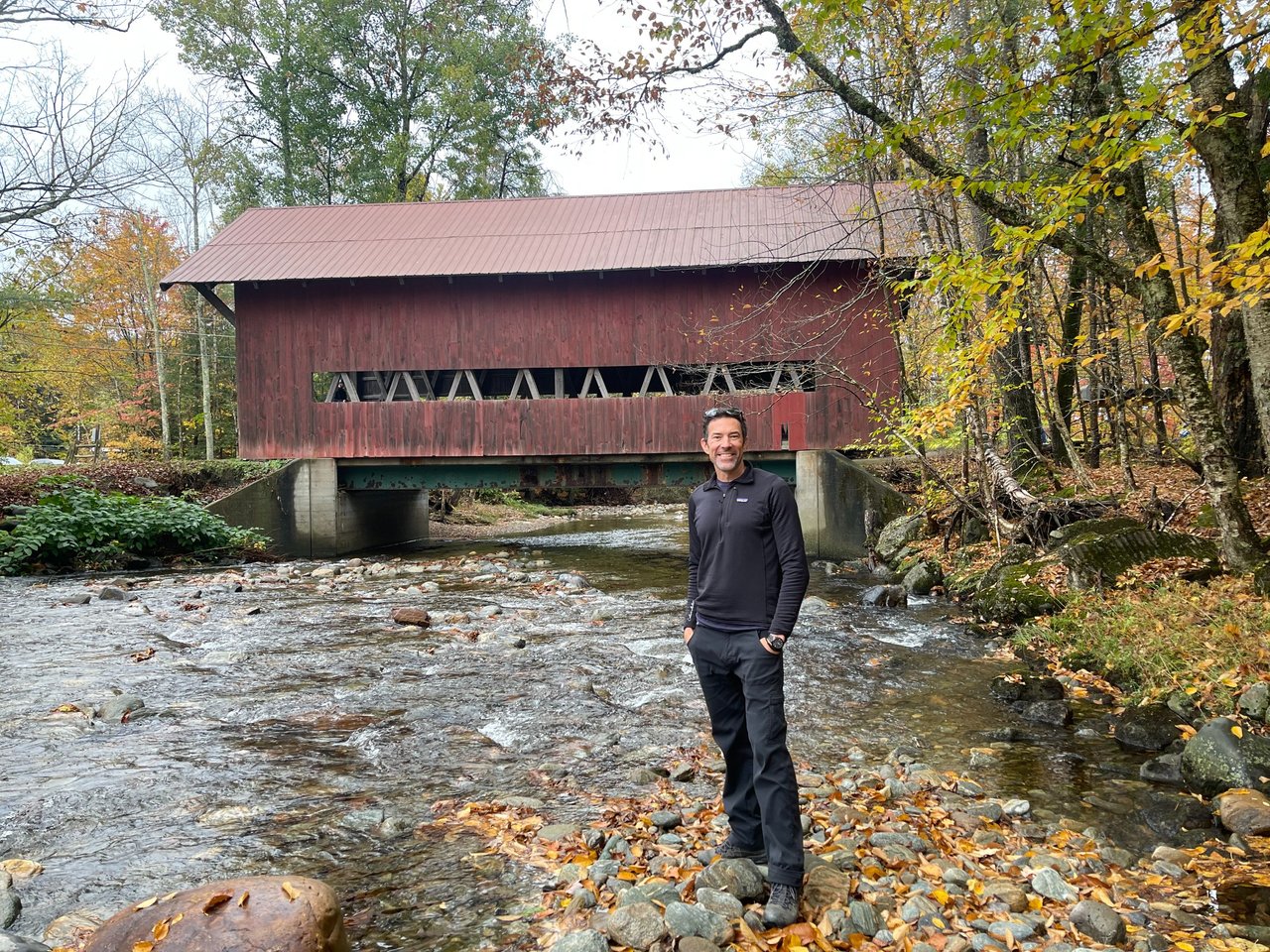
Another photographer was capturing the scene and offered to snap a photo of me in front of the bridge. So here I am, out from behind the lens.
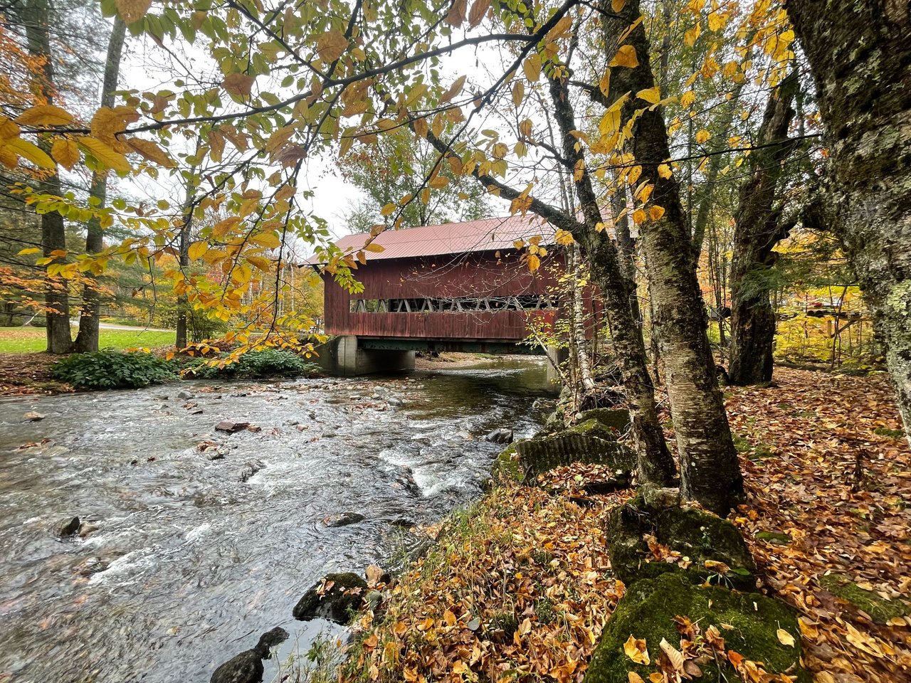
I spent some time getting different angles of this beautiful scene.
Looking down the river from the middle of the covered bridge.
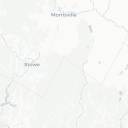
Check out this old covered bridge for yourself. Find the location here on worldmappin.com: [//]:# (!worldmappin 44.49763 lat -72.74443 long Covered Bridge d3scr)
And as always, keep traveling!
- Dai Mar
[//]:# ([//]:# (!worldmappin 44.49763 lat -72.74443 long Covered Bridge d3scr))

Comments